#WorldWaterDay
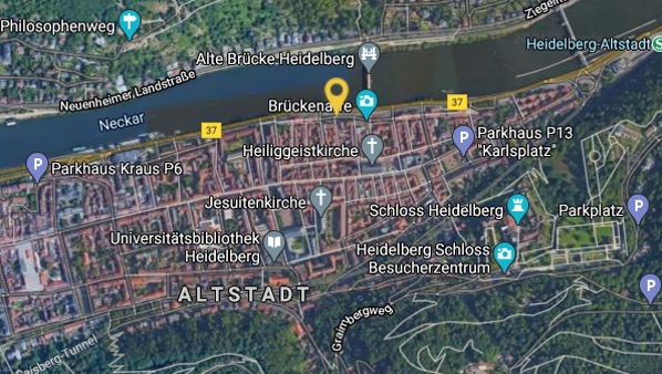
The way to this spot
This spot is located here
Water levels
On June 8, 1783 a huge explosion shook the south islands 2300 km away from Heidelberg. A fissure of 11 km in length ripped open and huge masses of glowing magma poured out like mush. Water damps and clouds of glowing ash with sulphur containing dust and gases destroyed everything in the vicinity.
An eruption column rose up into the stratosphere and took tiny dust particles with it. That summer there was a great heat weave and the European continent was covered in a veil of dust. The sky appeared blood red and the sun shone like a glowing fireball through the lava ash-contaminated air. The inferno did not end until 7th of February 1784.
Task: Imagination
Due to the overcast sky, even in winter, heavy snowfalls occurred in December 1783, with icing up of the rivers and icy temperatures down to minus 30ºC.
As a result, ice floes piled up to eight meter high on top of each other formed on the Neckar. In 1784, the Neckar flood was one of the largest with ice drift in winter. On the 27th, the ice drift pushed the then still covered wooden bridges in front of them and many houses and mills were destroyed in and around Heidelberg.
The water levels marked here at Pfaffengasse 1 (video) give you an impression of the extent of the flooding.
Imagine the panic of the people back then as the ice masses moved towards Heidelberg and discuss how you would feel about such a katastrophe, when sometime like this would happen to your hometown.
Please wait until your host gives you the permission to move to the next station